NASA has announced the production of the first map of the thawed ice sheets under Greenland, and although not highly conclusive, the information is vital in predicting how the ice will behave when affected by global warming.
The map identifies both the frozen and the thawed parts of the under-sheet, which is always slightly warmed by the heat of the earth.

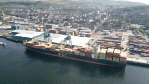
Credits: NASA Earth Observatory/Jesse Allen
Joe MacGregor, lead author of the study and a glaciologist at NASA’s Goddard Space Flight Center in Greenbelt, Md, said: “We’re ultimately interested in understanding how the ice sheet flows and how it will behave in the future.
“If the ice at its bottom is at the melting point temperature, or thawed, then there could be enough liquid water there for the ice to flow faster and affect how quickly it responds to climate change.”
Technical Paper: Climate change adaptation as it affects the dredging community
Research like this will be key to companies shipping companies looking for new Arctic routes.
Cosco have already sent three ships through an Arctic shipping route they hope to open up by using the waters now free of ice due to global warming.
According to a report published by the International Council on Clean Transportation (ICCT) published last year, emissions from Arctic shipping traffic could rise to anything between 150-600% by 2025, partially due to the increase of traffic as the ice melts.